
Whilst I worked on the history of the Yeovil to Taunton railway, I had to mention the A3088 out of Yeovil. Locals know it as the Cartgate Road. It links Yeovil to the A303. The A303 forms a main route from London to the South West.
The A3088 is a short but important A-road in east Somerset. It runs about 5.9 miles from the western edge of Yeovil to the Cartgate Roundabout on the A303 near Stoke-sub-Hamdon.
The road today shows the decline of the railway. It also shows how people used the infrastructure to improve the transport links. Today the road works as a direct link between Yeovil and the A303 trunk road. It carries traffic away from narrower village roads.
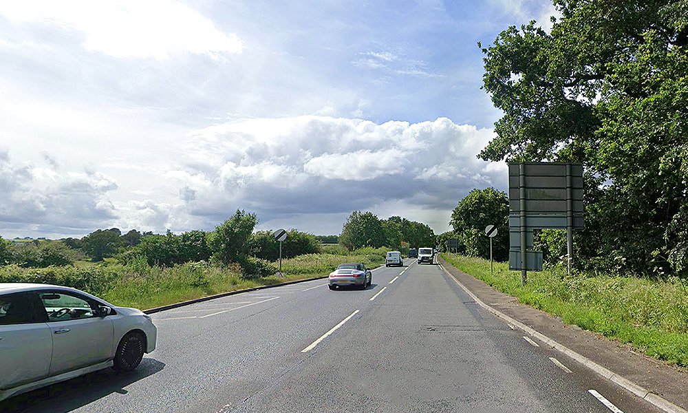
Road authorities created the A3088 number on 1 April 1933. They took over a section of the former A358. This change formed part of a wider renumbering. Officials linked it to the eastward extension of the A303 towards London. They also redirected the A358.
The original A3088 followed a different course from the modern road. It began at Fiveways Roundabout in Yeovil. Drivers then used Preston Road and New Road. The route crossed what is now the modern alignment via an overbridge. It continued through the villages of Montacute and Stoke-sub-Hamdon. There it met the then B3165, later renumbered A356. It ended at a junction with the A303 near Petherton Bridge.
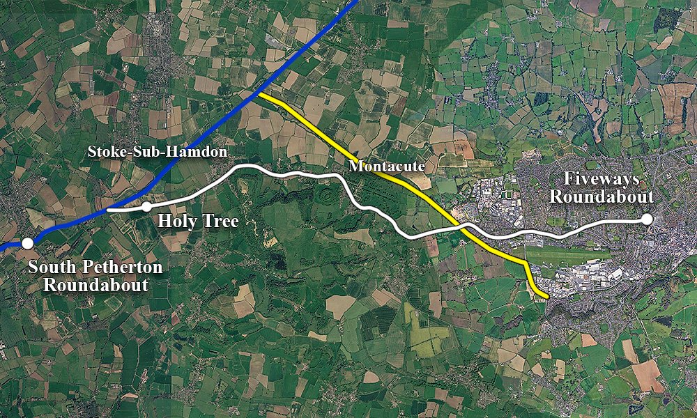
The blue line is the A303, with the yellow where the old trackbed was and the ‘new’ A3088 is. The white line is where the old road ran, heading through Montacute and Stock-Sub-Hamdon. This older route ran through Yeovil. It proved handy for the locals. As the car became more popular, everyone found it easier to navigate.
The Old A3088
The old route, left Yeovil, headed through Montacute and Stoke-Sub-Hamdon, and can still mostly be driving/walked today. The last part of where the road was, ran past the Holy Tree. You might not have heard of it, but it’s on the A356 road, from the A303 heading to Crewkerne.
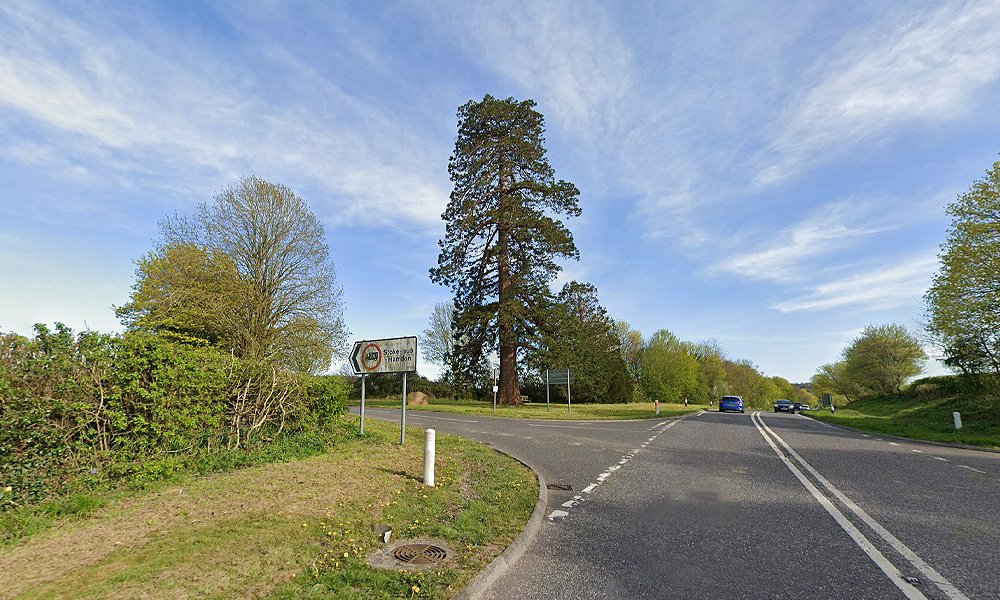
At this junction, where the turnoff is for Stoke-Sub-Hamdon, is where the old road A3088 would meet the A303.
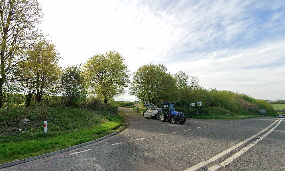
You can walk so far, but where it meets the parkway is now overgrown. It’s a popular spot for dog walkers.
The New A3088 and the Railway
The modern A3088 owes its path to the Victorian railway. The Bristol and Exeter Railway opened the Yeovil–Taunton line in 1853. Builders laid it to the broad gauge of 7 ft ¼ in. It became the first railway to serve Yeovil. Trains ran from a junction at Durston. Later services continued through to Taunton. The line crossed the Somerset Levels.
It called at stations including Langport, Martock and Montacute. It reached Yeovil first at Hendford and later linked to Pen Mill and Yeovil Town.
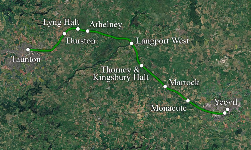
Engineers converted the line to standard gauge in 1879. The single-track route carried passenger and goods traffic for over a century. By the 1950s buses and private cars took away many travellers. Use of the line fell sharply. The 1963 Beeching Report marked the line for closure.
British Railways stopped passenger services on 15 June 1964. They ended residual operations later that year. Most of the route then stood abandoned.
Somerset County Council acquired part of the trackbed. In the early 1980s the council converted this former railway alignment into a new road—the Cartgate Link Road. The design gave Yeovil a more efficient connection to the A303.
Contractors built the new A3088 largely on the old railway formation. Lord Peyton, a former Transport Minister, opened it on 29 June 1984. The project cost £4.2 million. The modern route starts at Horsey Roundabout at the southern end of Yeovil’s dualled Queensway.
The road continues via the Western Relief Road area. It then joins the former railway corridor.
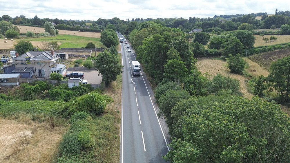
This is an aerial view of the old station site at Montacute. On the left is the Station Masters house, on the right, under the undergrowth, was where the platform was. Today, the trackbed is the main link road.
A Busy Modern Link
The road runs as a single-carriageway. Tall trees line much of it in a cutting. Only one major intermediate junction serves Montacute. The route ends at Cartgate Roundabout on the A303. The new road took most through traffic off the old village route through Montacute and Stoke-sub-Hamdon.
Since opening, the A3088 has stayed an important local artery. In the late 1990s engineers recycled sections in place. They fixed surface cracking and rutting. They reused materials instead of discarding them. Maintenance teams have carried out drainage and other works from time to time.
Steady traffic volumes demand this care. The road links Yeovil’s western industrial and residential areas, including sites near the former Westland works, to the strategic A303. The alignment still keeps subtle reminders of its railway past.
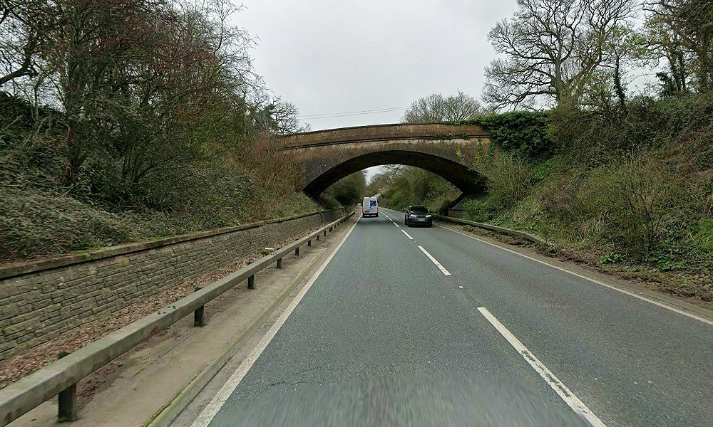
These include the geometry of the trackbed and occasional surviving bridge structures nearby. One bridge carries Old Road towards Odcombe.
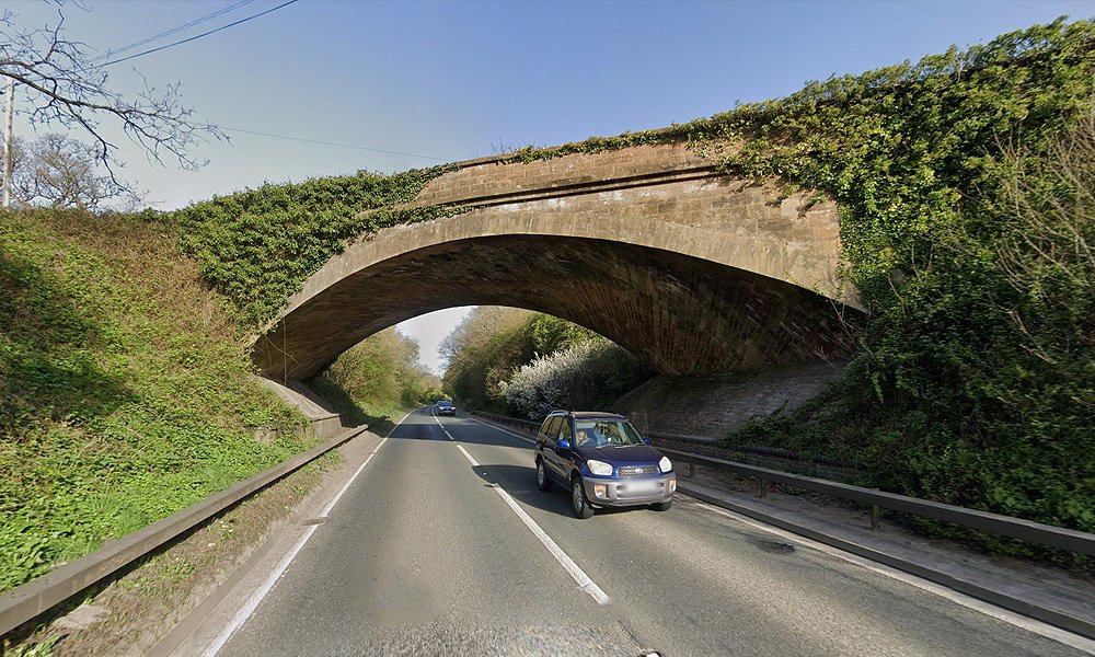
Another bridge once served the old A3088, now known as the Montacute Road.
The A3088 holds successive layers of transport history. It shows inter-war road numbering reforms. The rise and fall of a rural railway branch. It also shows the conversion of that corridor into a modern link road in the 1980s.
From its original 1933 designation along village roads to its present form on a Beeching-era trackbed, the road has adapted to changing patterns of mobility. It continues to serve the practical needs of Yeovil and the surrounding Somerset countryside.
Its story shows how Britain has repeatedly reshaped its transport infrastructure in response to technological, economic and social change—which usually did not turn out for the best.